To Create and Define a User Coordinate System Library
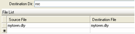
- Copy the file C:\Program Files\Bentley\Map\coordinate\seed\seed.dty to your_location\your_file .
-
In the UCF or other location, define MS_GEOCOORDINATE_USERLIBRARIES to point to your_location\your_file.
For example:
d:\projectABC\userlib\ProjectABC.DTY [Custom coordinate systems library for Project ABC]
- You can also define this variable in the MACROS section of your user workspace in your Bentley Map project.
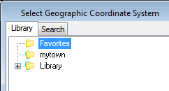
- After starting Bentley Map, select .
- From the Geographic Coordinate System tool palette, select the From Library command.
- Your user library should be available in the Select Geographic Coordinate System dialog.